Introduction
Summary
On a previous expedition to Kyrgyzstan with the British Exploration Society Maisie had looked South in awe of the mountains that lay there, hoping to one day explore them. And so began the idea for this expedition.
Our trip can be broadly split into 3 sections: 1 week backpacking, 2 weeks climbing, rounding off with another 2 weeks backpacking. We followed section 1 and 2 of the newly-established Pamir Trail’. The climbing section was based out of the ‘Vertical Alaudin’ climbing centre.
We experienced several challenges along the way, including aggressive shepherd dogs, deep river crossings, unpredictable weather scuppering climbing attempts, alongside incredible moments like swimming in pristine alpine lakes, meeting the friendliest people and experiencing the generous hospitality of the Tajik people.
We would like to thank the BMC Julie Tullis Memorial and the Jack Bloor Fund for their support, without which this trip would not have been possible.
Team members
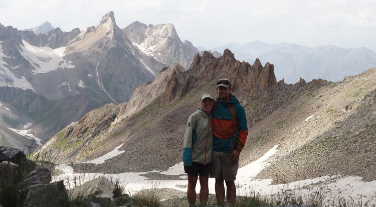
Maisie Gough (23)−Student
Maisie is a lover of all things outdoors, having grown up in Cumbria she was a regular to the Howgills, Lakes and Scotland. Despite vehemently disagreeing that she’s a peak bagger, she is far on her way to completing the Munroes. Having moved to Sheffield for her dental degree she has fallen in love with rock and winter climbing.
James Edmundson (25)−Software Engineer
James is a Software Engineer living in Sheffield, but tries to spend most of his winters up north in Scotland. He is always drawn to remote, adventurous, and esoteric objectives. He nearly climbed The Left Unconquerable, almost topped out of Jeepers Creepers, and who has personally wet himself on Three Pebble Slab.
Write-up
Location
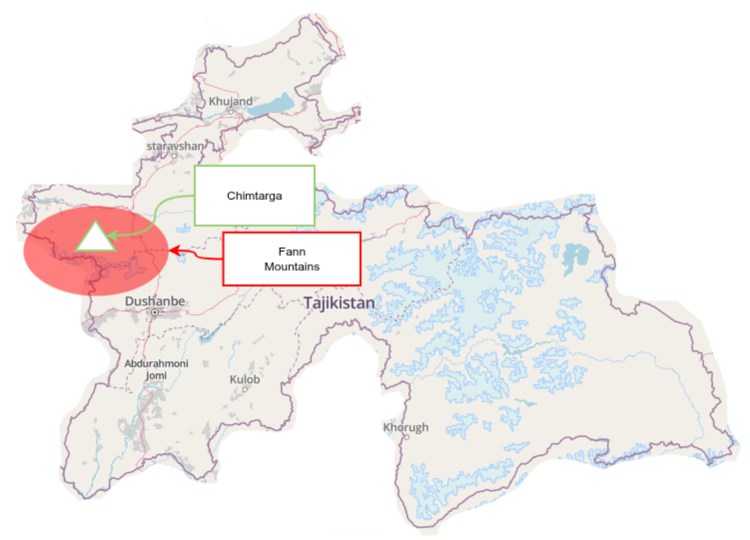
Tajikistan is one of the most mountainous countries in the world, with 93% of the land classified as mountainous. A four hour drive north west out of Tajikistan’s capital city Dushanbe is the Fann mountain range. The highest peak of which is Pk Chimtarga (5489m).
Backpack 1: 2026.07.11—2026.07.19
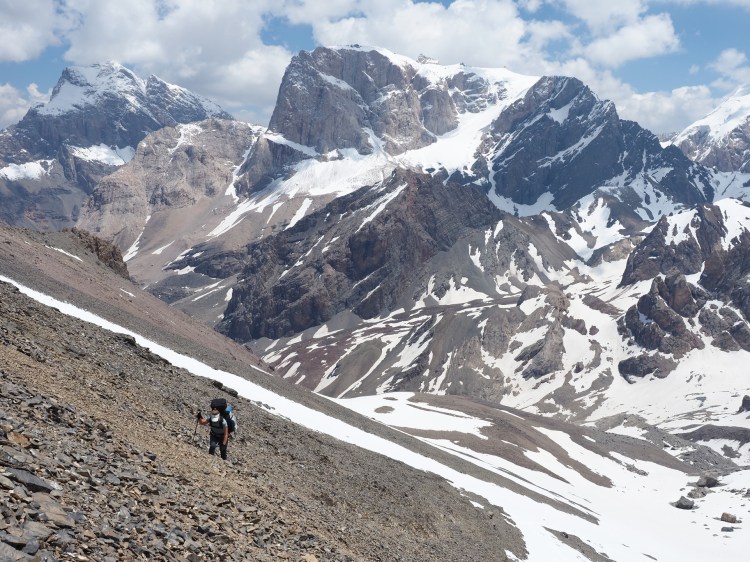
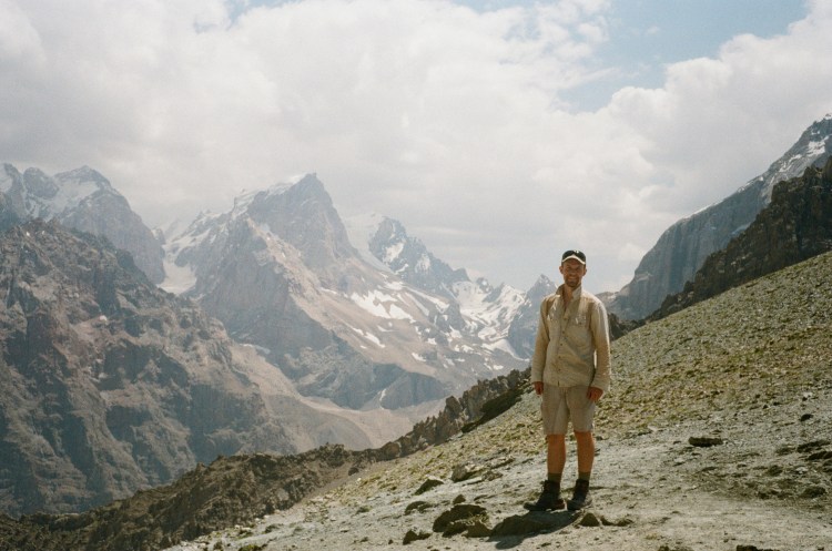
Initially planned as a 7 day backpack, in actual fact this section took us 8 days total as a rest day was needed. This section corresponded to section 1 of the Pamir Trail; a circular loop around Chimtarga. We believe this time was about 2 weeks ahead of the usual trekking season. Evidence of other trekkers and climbers surrounded us everywhere with a saddening amount of rubbish left, but we had most of the trek to ourselves. Snow still covered Chimtarga pass, and our ice axes and crampons came in useful. The highest point reached on the entire trip was on day 2 of backpacking, reaching a height of 4740m on Chimtarga pass.
That evening we got the tent up and upon reading the signs of AMS from ‘Pocket first aid and wilderness’ Maisie realised she ticked all 5 signs on the The Lake Louise Scoring System and fell into the moderate to severe category of AMS. We re-packed the tent and dropped to a lower elevation; walking down to Burzgh Alo lake late into night, pitching up at roughly midnight. We woke up late and groggy but unzipped the tent to see the most beautiful blue lake surrounded by steep limestone walls. We were dragging our heels and realised we did not want to leave this gorgeous spot, so we decided to have a rest day. We swam in the pristine lake, read and soaked up the views, but it was now necessary to plan how we would get an extra day’s food.
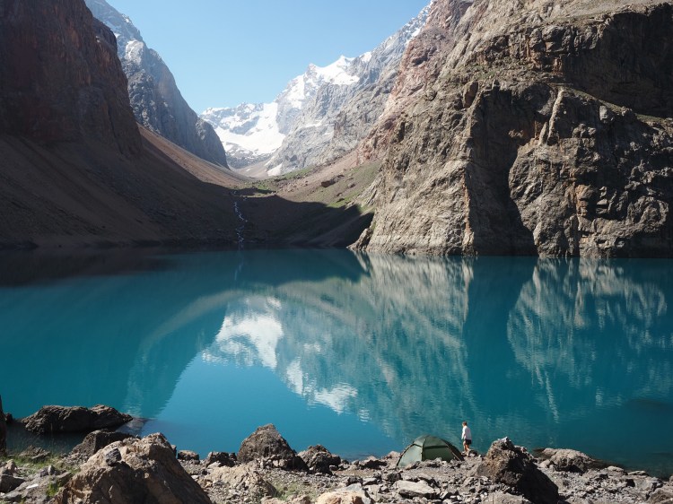
The next day we walked down an old dried up river to the dirt road. It was here we first saw the dangerous ‘Yughan’ plant, which blooms with a cluster of yellow flowers, and the sap of which causes a grade II photo-chemical burn if it gets on your skin.
The campsite for this evening had many apricot trees, and we were treated to homemade apricot jam and bread, and we were given a flask of green tea which we must’ve drank over a litre of! In order to catch up on the extra day of food, we ordered dinner from the campsite owner, so we got to experience the Tajik national dish ‘plov’—a type of fried rice with salad.
Later on in the week we were stopped by a man in the village who started picking up rocks. Having heard that dogs could be very problematic in Tajikistan we thought the worst, expecting to have to fend them off further ahead, but instead he threw them at his apricot trees and gave us a massive bag of them to take with us.
By this point my trusty trekking shirt had decided it had had enough of being in one piece and slowly began to disintegrate. I spent at least an hour every evening repairing it!
Our final day had us passing over a col (Alaudin pass), to which we would be returning to many times for the climbing section. Here we eyed up further routes for the climbing to come. At the campsite, our good spot was taken so we pitched near others in the middle of a field with no shade. This was made up for however, as our neighbours presented us with lots of food and two massive kebabs! (vegetarianism had certainly been thrown out the window).
| 2026.07.10 | Drive Dushanbe →Vertical Alaudin (2639m) | |
| 2026.07.11 | 3km; 180m elev | Packed equipment, walk 2km (2820m) |
| 2026.07.12 | 4.6km; 699m elev | To Mutnye lake (3519m) |
| 2026.07.13 | 12.9km; 1,221 m elev, 1,593 m drop | Climb over Chimtarga Pass (4740m) to Burzg Alo lake (3147m) |
| 2026.07.14 | Rest day @ Burzgh Alo | |
| 2026.07.15 | 14.3km; 71 m elev, 1468 m drop | To campsite Voru (1742m) |
| 2026.07.16 | 16.2km; 1,101 m elev, 189 m drop | Camp on pass Ghuytan (2660m) |
| 2026.07.17 | 5km; 78 m elev, 284 m drop | Chuqurak lake (2428m) |
| 2026.07.18 | 8.1km; 957 m elev, 337 m drop | Over peak Urej (3243m) to Chimtarga Lake (Dushokha) (2982m) |
| 2026.07.19 | 9.1km; 783 m elev, 1,130 m drop | Over Alauddin Pass (3780m) to VA |
Distances have been taken from plotting the route on mapy.com. The actual distance travelled was longer each day, due to variations and zig-zags on the path.
Climbing: 2026.07.20—2026.07.29
Originally intended to be about two weeks, we only ended up having 9 days total for climbing. This was due to the timing arrangements for our transport, along with taking an extra day on the first backpacking loop.
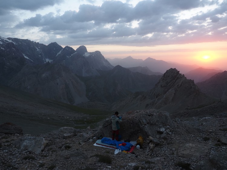
No rest was had after finishing the first backpack. On the 19th we returned to Vertical Alaudin and collected our kit from the campsite hut. The next morning we packed the climbing and bivvy kit, sorted food for the next week, then headed back up the 1200m climb to Alaudin pass to attempt the north ridge of Mt. Severnyy. With a dubious weather forecast for the rest of the week we thought we’d be able to squeeze this climb in on Tuesday morning, before the rain came in in the evening. A spectacular sunset then a cosy bivvy gave us high hopes, but it was not to be. The rain came in far earlier than expected, so at 5am we sat under the tarp wondering if it would pass. On and off showers hit us, and we even went as far as walking across the col to the base of the climb, only to get rained on even heavier. We made the correct decision to return to basecamp, as while we were walking down the thunder rolled in.
Following this, we took a rest day where we climbed the campsite pebble, where we had seen some bolts and pitons fixed in the top, to set up a top rope. We assumed that this basecamp was a hive of activity in the past for Russian expeditions who also must’ve bolted these boulders.
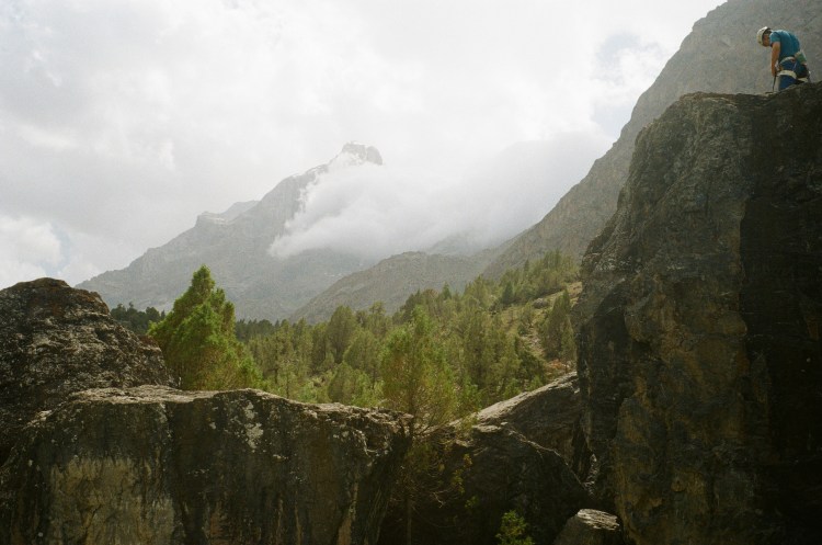
Our next objective became a spectacular ridge we noticed on the drive in over a week earlier. Unfortunately, we hadn’t been able to find a route description when back in England, and nothing could be found in the dusty stack of topo’s at the campsite either. We did find, however, a map of routes in the area, with a line drawn along the ridge giving it a grade of Russian 2b (approx alpine PD+ / UIAA II/III).
Despite passing a cairn and piton along the way (our only evidence that someone had climbed along here before), we found the ridge quite unpleasant with no rock of any quality. Unfortunately,
🎶 an unprotected downclimb reared it’s ugly head, so James bravely turned his tail and fled.
Brave sir James turned about and rightfully he chickened out.
Bravely taking to our feet we beat a very brave retreat,
heading back along the scrambly ridge, cursing with some foul language. 🎶
Luckily we had spotted a potential escape earlier on in the day, so could down-climb roughly 180m of scree on the south side, until one final 20m ab took us to the valley floor.
We believe the ridge could be climbed to the Ruffin summit by joining the ridge just after our furthest point, so that the downclimb could be avoided.
Following our failure on the Ruffin ridge, we decided to attempt the North ridge of Severnyy again. Having another half day in camp to repack and rest, we then walked back up to the Alaudin col for another bivvy. This night seemed to be the opposite of the previous, with condensing mist passing through all night and soaking the sleeping bags and equipment, but we woke up to a dry mountain! (and frozen sleeping bags)
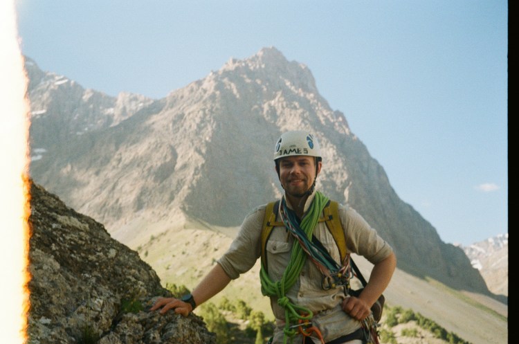
We followed a hand-drawn topo obtained from the campsite, and a google-translated route description. Much of the route was protectable by pitons, of which I had 3, at the bottom of the bag. The crux involved a slippery off-width, and passing behind a humongous detached flake. Topping out of the route found us on a spectacular platform next to the sharp summit. We had conflicting information regarding how to get back down off the climb, with one guidebook saying to descend back down the route, while another describing the possibility of returning to the valley floor by scree to the south. The former was unattractive due to the lack of equipped belays, and the latter would involve an extra 5 hr round trip climbing back up to the Alaudin col to retrieve our bivvy kit. Accepting the long day, we chose to follow the scree off the back and picked up vague lines of cairns, which took us to a small shute passing back to the north side of the mountain, avoiding the necessity of walking to the Alaudin lakes and back up! We collected our stashed sleeping bags and returned down to VA.
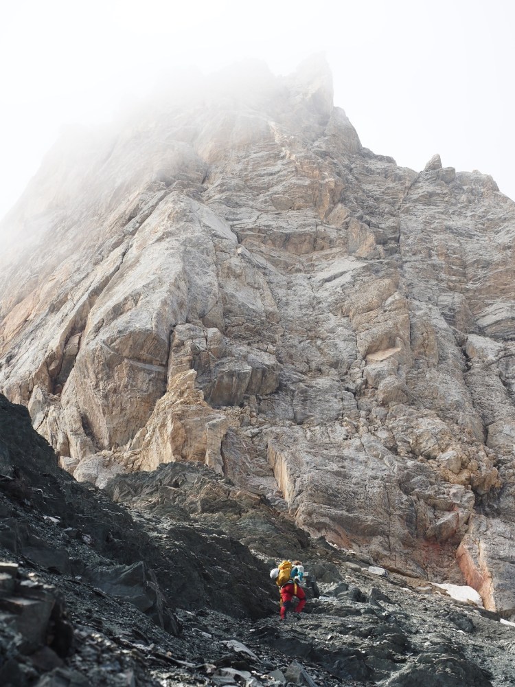
What Alaudin lacks in low-grade quality rock climbs, it counters with easily accessible 5000m peaks, at least one of which we intended to climb. We had four days remaining at Vertical Alaudin before we needed to depart, which gave us a window to attempt one of these. As part of the first week backpacking, we had climbed most of the way up Peak Energia (5120m), so knew it was possible to climb this. Instead, we chose to attempt Peak Zamok (5020m), so that we weren’t repeating so much ground. We once again left a bag of the rockgear in the mess hall of VA, and took backpacking gear for a mini expedition. One day took us to Mutnye lakes, and the following day to a high camp at 4300m on the west side of Zamok.
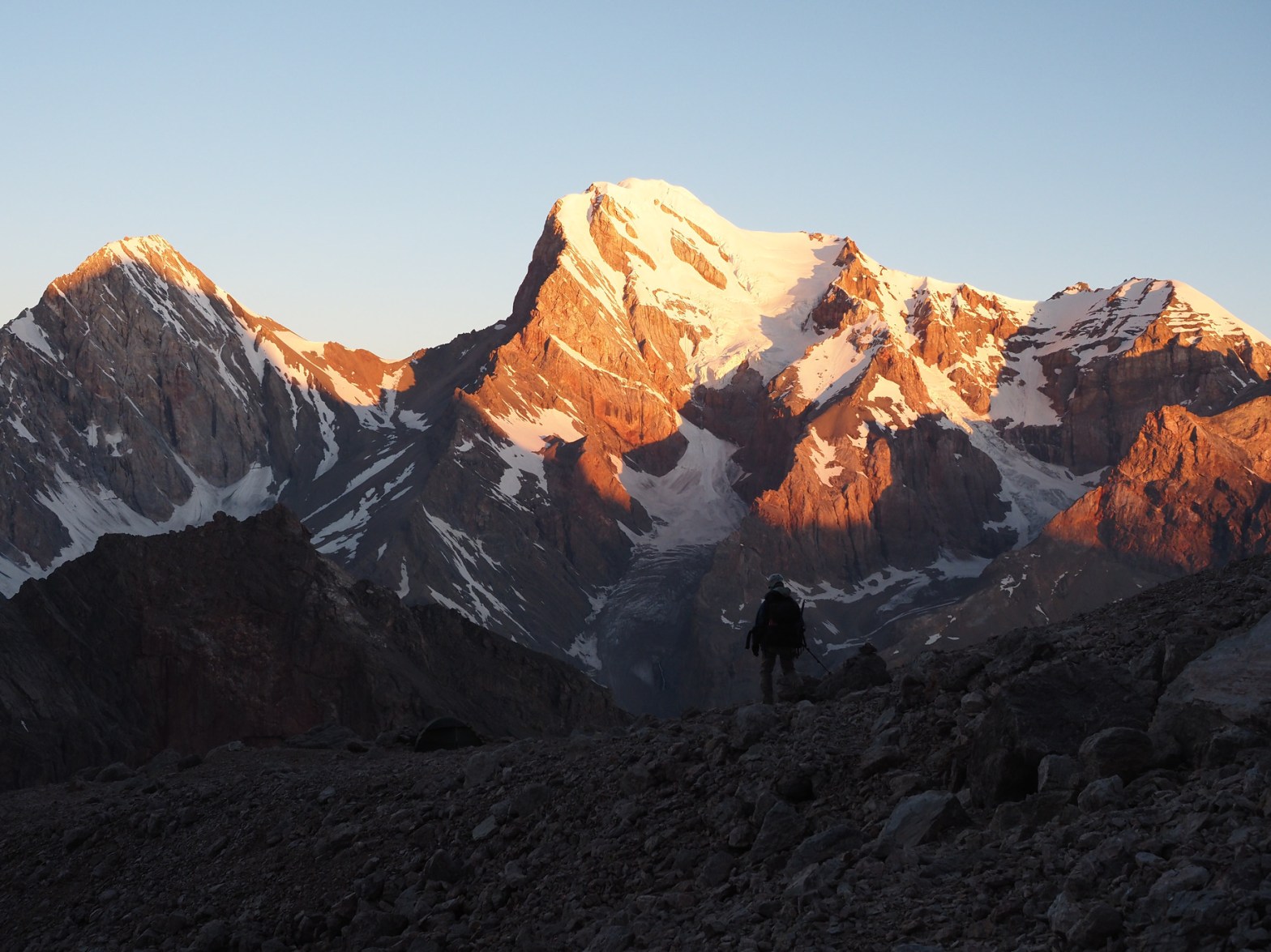
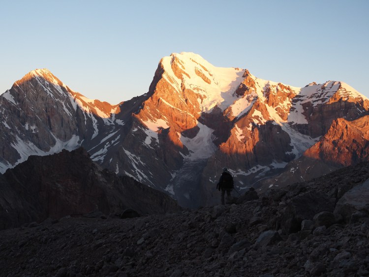
The early alarm went off at 0300 to cross the glacier onto the shoulder of the mountain, until he-who-wishes-to-remain-anonymous realised he forgot his slings for crevasse rescue. A spectacular sunrise lit up Chimtarga from across the valley, deep blues turning to orange as we bailed back down to the tent for a sleep. Rising again in the late morning, we then walked down back past Mutnye (which at this point had 15+ tents on, compared to being empty three weeks ago!) to a smaller alpine lake. Wednesday 29th had us walk lazily down to the campsite, reflecting on how much the scenery had changed over the two and a half weeks we had been here.
| 2026.07.20 | Walk up Alaudin pass for bivvy |
| 2026.07.21 | Rained off; back to camp |
| 2026.07.22 | Rest day |
| 2026.07.23 | Ruffin ridge |
| 2026.07.24 | Rest morning, then back up Alaudin pass |
| 2026.07.25 | Climb on Severnyy (4027m) |
| 2026.07.26 | Walk up to Mutnye |
| 2026.07.27 | Walk up to Zamok base (4300m) |
| 2026.07.28 | Bail on Zamok, back down to small lake |
| 2026.07.29 | Lake down to VA |
| 2026.07.30 | Drive to VA →Saratoq |
Backpack 2: 2026.07.30—2026.08.13
We started off this second backpack tired from the attempt of Zamok and lack of rest days but believing the walking would be more restful. The plan had been to have a rest day after 1 week walking. This was not to be!
Even our drive was eventful, with an overheating car with a leak in the coolant system. It seemed that no dials worked on any cars in Tajikistan, only the temperature and tachometer consistently worked in the cars. We would see the gauge climb into the dangerous red, until our driver would stop and fill a bucket of water from a stream and pour it into the radiator. This happened a few times until we had to stop again, Ahmed jumped out with his handy bucket, looking despairingly at the dusty dry ground, with no stream in sight. Out came the spanners and bits of engine and pipework, until as if by divine mercy, a pickup truck loaded with 5L water bottles drove past and handed one to us out of pity!
At Saratoq we had arranged to leave our climbing kit bag at a homestay to have it returned to Dushanbe. Between many phone calls and google translate we had it dubiously sorted, so headed down a dirt track fingers crossed that we would see our kit in 2 weeks time! Our intended campsite for that night didn’t materialise so we camped on a dry riverbed.
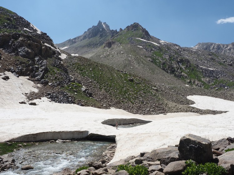
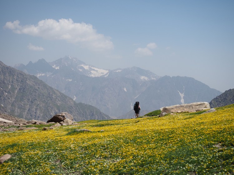
In the morning a Lada drove past us. We headed up the valley to Muri Pass. On the way a big polar bear of a shepherd dog came up to us out of no-where. Thankfully it didn’t want to eat us and after becoming disinterested it wandered off again. That evening was spent at a beautiful camp spot with waterfalls, green grass and steep rock faces below the pass.
For this backpack we only brought micro spikes and after putting them on we ascended Muri pass (3793m), also kicking in steps. Towards the evening we needed to cross the Zombar river but the river was far too big at the intended crossing point. We kept traversing and thankfully found a new, small shepherd bridge, the previous one washed down the river still in sight. The pattern for the rest of this week consisted of walking up beautiful passes in the morning, running away from scary shepherd dogs until the owners chucked rocks at them and they’d go away and trying to find bridges but often taking off our shoes and getting a bit wet and cold, or finding snow bridges when the rivers were impassable.
After 7 days we made it into the village of Khoji Obi Garm and in the morning collected another week’s food from a taxi drop off that we had arranged through the Archa Foundation. Unfortunately the saucisson and hard cheese that we had brought from the UK was now an interesting shade of green and we regretfully had to bin what was going to be the tastiest food we’d had in 4 weeks. We crossed the road at the town of Hushyori and walked up the valley towards our second week backpacking. We stopped for some lunch and realised that the wraps would be out of date soon and worried that their fate would be similar to the saucisson so James left his bag and ran back to town to collect some noodles. The bags felt heavy again with the new food and so we were glad of the shorter day. It was also much hotter as we were at our lowest elevation yet since Dushanbe (1400m).
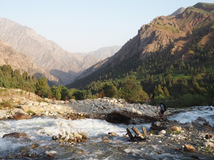
The next day we set a new record for mankind: 5km in 8 hours! This day we waved goodbye to our sought after rest day and said hello to brush, thorns, scree, loose scrambling, sceptical snow bridges, bad river crossings and what felt like an obstacle course. Thankfully as the sun was starting to dip that evening we found the only flat spot around that someone else had clearly made room for on the side of the riverbed. We felt particularly special having seen a hummingbird moth for the first time, assuming some exotic and wild animal until on return to the UK my Mum told me she had seen one in her garden!.
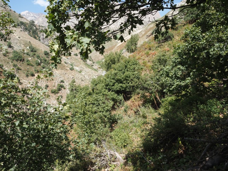
We were now half a day behind and with what was described as “one of the hardest stages of the Pamir Trail, with steep exposed terrain and constant navigation” coming up in half a day’s time we didn’t catch up but instead used the other half of our rest day to spread the distance. This day started off well up and over Soghdiana Pass (3350m) but contained tricky traverses on granite slabs with loose marble scree on top. The next day up and over Dushokha Pass (3820m) started as a lovely snow plod up the valley and increased in steepness until it turned into very loose, very steep scree to the top. On the way we saw a Circumhorizon arc (aka Fire Rainbow). The first week had a decent amount of animal trails and trods to follow whereas this second week had a lot more loose scree and spiky shrubbery. There were still plenty of corners turned to find aggressive sheep dogs but the snow bridges were now much more unstable. The worst river crossing came this last week where it was pointless keeping shorts on and being only 5”3’ I got wet up to my belly button. On the last day into Margheb we were walking down the valley and suddenly the way we were heading was blocked by a steep sided pit where we found out the Tajiks were digging for gold. That night in Margheb we stayed in a homestay and enjoyed a social evening with a Spanish couple and 2 Germans. The next morning we got a taxi back to Dushanbe.
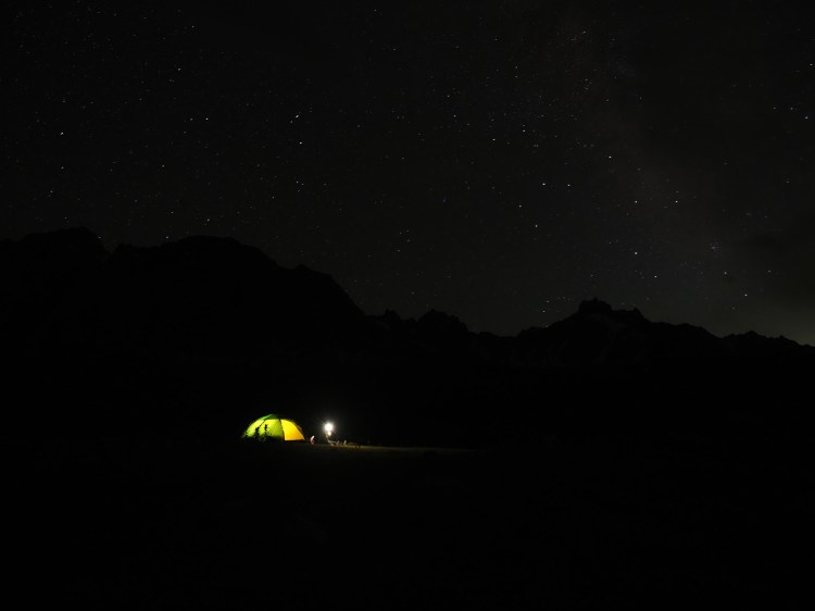
| 2026.07.30 | 5km; 71m elev | Drive VA to Saratoq and begin back pack to Mura River (2451m) |
| 2026.07.31 | 9.6km; 906 m elev | Up the valley along the Zombar river (3352m) |
| 202608.01 | 12.1km; 417 m elev, 1,705m drop | Over the Muri pass (3793m) to Qaratogh valley (2074m) |
| 2026.08.02 | 17.6km; 983m elev, 383m drop | Up the valley past Payron lake (2742m) |
| 2026.08.03 | 9.4km; 1,108 m elev, 539m drop | Over the Khonaqo pass (3820m) to upper end of the Suboshi river (3300m) |
| 2026.08.04 | 12.4km; 822m elev, 2,001m drop | Over the Khonaqo-Luchob Pass (3715m) to the Luchob river (2120m) |
| 2026.08.05 | 17.8km; 719 m elev, 959 m drop | To Khoja Obi Garm (1870m) |
| 2026.08.06 | 3.8km; 419m elev | Food pickup Khoja Obi Garm. Up along Darai Kulol River (1800m) |
| 2026.08.07 | 5.1km; 609m elev | Up the Darai Kulol valley (2380m) |
| 2026.08.08 | 9.3km; 986 m elev, 798m drop | Over the Soghdiana Pass (3350m) to Diamalik valley (2551m) |
| 2026.08.09 | 7.9km; 1,265 m elev, 709m drop | Over the Dushokha Pass (3820m) to the Ganjdara river (3144m) |
| 2026.08.10 | 18.6km; 1,156m elev 860m drop | Through the Ziddi valley, to the Lolakul lakes (3415m) |
| 2026.08.11 | 16.8km; 514m elev, 1,299m drop | Over the Aghai Qul Pass (3851m) and down the Tagobiqul river (2630m) |
| 2026.08.12 | 12.3km; 1,050m elev, 558m drop | Over the Mushtif Qul Pass (3680m) to the Tagrich river (3120m) |
| 2026.08.13 | 17.1km; 687m elev, 1,538m drop | Over the Tagrich Pass (3578m) to Margheb (2246m) |
| 2026.08.14 | Drive Margheb→Dushanbe | |
| 2026.08.15 | Day in Dushanbe (Met Jan Baker in a café!) | |
| 2026.08.16 | Flight back to UK |
Logistics, Expedite & Carbon Offset
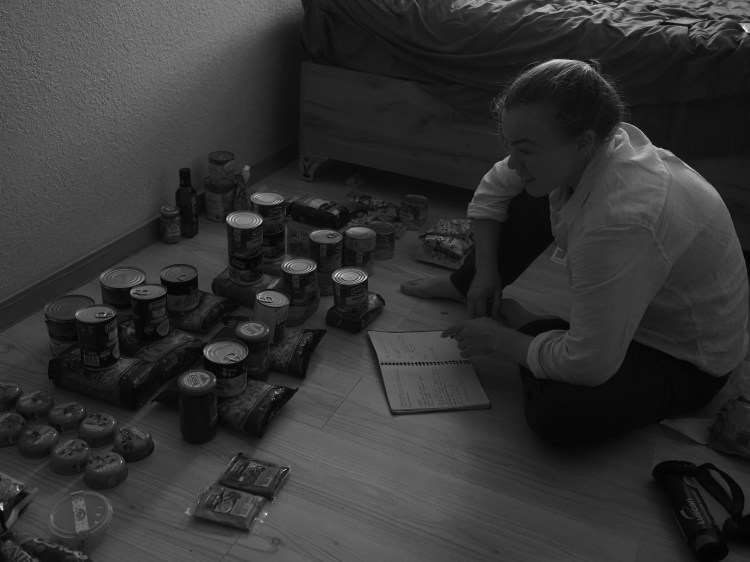
We flew out one week’s worth of dehydrated food, but bought the remaining food in Dushanbe. It wasn’t the easiest to buy light camping food that also had a long shelf life, and even harder that it was all in Tajikistan. Thankfully we had a few days in Dushanbe and most of this time was spent shopping and sorting food.
Everything was booked in advance (inc, food drop, equipment pick-up and 4WD transport). While this proved to be less stressful, prices would often be cheaper to come by if we had organised in the country and haggled.
Equipment
| Tent | Hilliberg Allak 2 |
| Stove | Primus Omnilite Ti. Nearly exclusively used on E95 automotive petrol. One gas canister used but only lasted 3 days. |
| Sleeping Bag | 3 season (comfort−1C) |
| Boots | Summer B2s were appropriate |
| Rack and Ropes | 2xtriple ropes. Standard double rack: wires 1–11; Cams 00–5 |
| Spikes | Walking axe each. C2 crampons. Microspikes were useful when backpacking |
| Solar | Anker 21W. Was sufficient for two people for the entire trip |
| Water filter | Katadyn Bee Free; LifeStraw Peak. Two filters were essential as both filters |
| Camera | OM Systems OM5 w/ 12–40 f2.8 pro; Olympus trip35 with Kodak Gold 200 |
Expenditure
| Visa and Letter of Invitation | £55 |
| Food shop (4weeks worth in Tajikistan) | £375 |
| 4 WD Transport | £341 |
| Food drop and kit transport | £107 |
| Vertical Alaudin Campsite | £3.25 per person per night |
Carbon Offset
We worked out the total amount of CO2 emission from our flights and drive is 4.5 tonnes total for the trip (via My Climate). This has been offset through mycarbonplan.org which plants trees in the UK.
Summary
Overall the expedition was a success and we were pleased to have planned ahead in terms of Taxis and food drops to make the logistics run smoothly. In hindsight, it would have been good to have had longer for the climbing portion of the trip but we were time limited and there were few options to cut down the days for backpacking. We are very grateful for the support we received from the Jack Bloor Memorial fund and the Julie Tullis Memorial Award.

